Walking
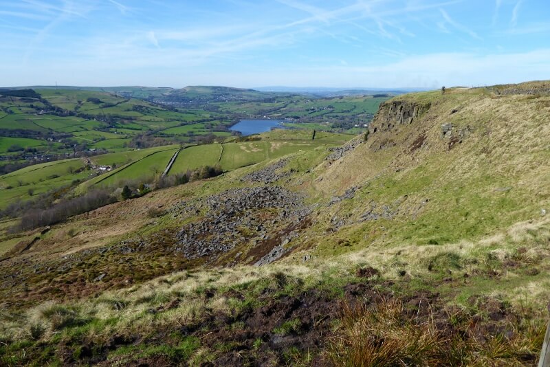
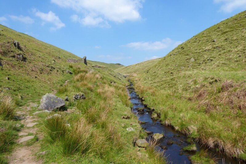
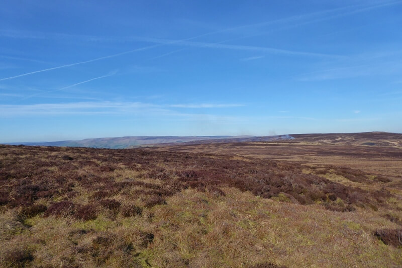
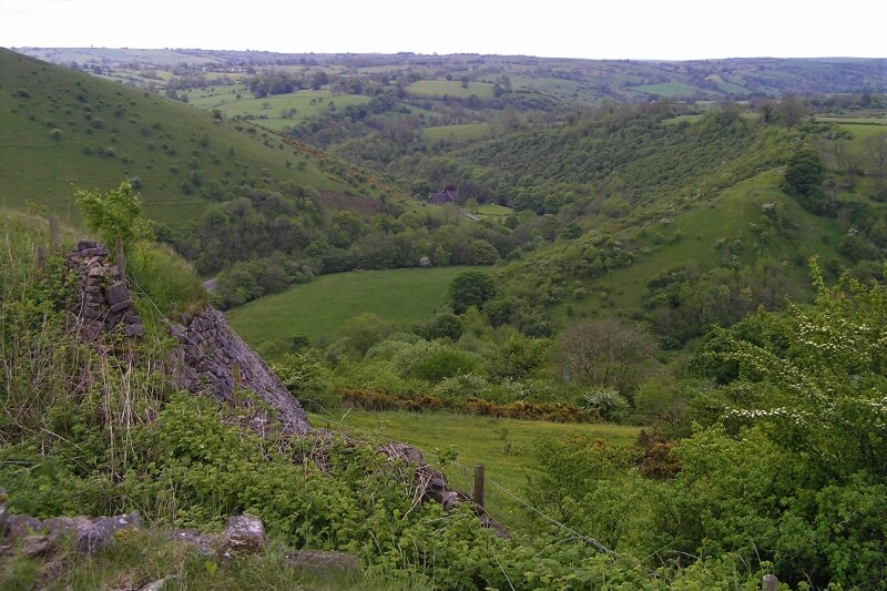
Buxton is surrounded on three sides by the Peak District National Park with its rolling hills, sweeping moorlands, deep valleys, dales, bridleways and green lanes.
With a fantastic network of public footpaths, you can make up your own routes depending on time and ability. Venture deep into the National Park or soak up the atmosphere of this wonderful spa town from the hills around Buxton.
For walks in and around Buxton, see our Buxton Country Park and Woodlands Walk page.
Don’t want to stray too far? See nearby walks on our popular Peak District walks page.
Read about the Countryside Code and parking in the area here.

Keeping Safe
You can pick up walking guides and maps (see below) at the Buxton Visitor Centre.
There are a number of guides who lead walks in the Peak District and walking groups if you do not want to walk alone.
Forgotten your raincoat? Get kitted out in one of our outdoors shops. Please do make sure you are properly prepared for a wild walk—the weather can change very quickly: good boots and a waterproof coat are a must.
If you get into trouble and need assistance, call for the Mountain Rescue Team via 999.
Use the What 3 Words app to provide your location.
Farmland & Dogs
If you’re walking with your dog through farms with livestock in them, please keep the dog on a lead, particularly during the spring, however well-behaved the dog might be.
You MUST keep your dog on a lead when on any open access land between 1 March and 31 July to protect ground-nesting birds. This is law. The lead must be no longer than 2 metres long.
Keep your dog close by and stick to the public footpaths, don’t let them stray onto crops or go near livestock. Never let your dog worry or chase wildlife or livestock.
When cattle have young, they can become very defensive. Please take care if you encounter a field of cattle with young, especially if you have a dog.
If you and your dog are chased by livestock, it is advised to let go of the lead.
Please clean up after your dog.
Nearby Nature Reserves
- Derbyshire Dales National Nature Reserve – five limestone valleys at the centre of the White Peak
- Dovedale National Nature Reserve – iconic dale with ancient woodland, wildflowers, famous stepping stones, limestone pinnacles, caves and reef-knoll hills.
- Wye Valley Nature Reserves – five woods and dales along the River Wye to the east of Buxton

Nearby Walking Trails
Pennine Way National Trail
The 268 mile-long (435km) Pennine Way, England’s first National Trail, was formally opened in 1965, celebrating its 50th birthday in 2015. It follows the central upland spine of England from Derbyshire to the Scottish Borders, and begins in Edale, to the northwest of Buxton. More information from National Trails here.
Pennine Bridleway
A 205 mile-long (330km) National Trail running through the Pennine hills from Middleton in Derbyshire to Ravenstonedale in Cumbria designed especially for use by horse-riders and cyclists but open to walkers. More information from National Trails here.
Peak District Boundary Walk
The Peak District Boundary Walk which starts and finishes on Buxton’s Market Place was launched in June 2017 and developed by the Friends of the Peak. The walk takes in 190 miles of outstanding natural beauty over ‘20 stages’, never straying far from the boundary. A guidebook is available.
Peak Way Walk
The Peak Way Walk is a 155-mile, circular, long-distance walk, predominantly in the Peak District, developed during 2020-2021. A guidebook is available.

Nearby Walking Routes
Derbyshire & Peak District Walks (Local Walks)
If you would like to explore over 200 walks in Derbyshire and the Peak District, take a look at the Derbyshire & Peak District Walks app.
Miles Without Stiles
The Peak District National Park Authority’s (PDNPA) Miles without Stiles routes are suitable for people of all fitness levels and those with limited mobility, including wheelchair users, families with pushchairs and scooters, and the visually impaired. There are three tiers of routes: Access for All, Access for Many and Access for Some. Sensory trails are also available. Nearby routes include Goyt, Tideswell Dale, Monsal Trail, Lyme Park and Mam Tor. More information and a guidebook is available from the PDNPA website.
High Peak Walks
Walking routes in and around Chapel-en-le-Frith, New Mills and Whaley Bridge featuring award-winning parks, canal basins, dramatic river-side walks, historic market places and industrial mills and supported by interpretation panels at key locations in each town. The routes were developed to help the area recover from the Toddbrook Reservoir Incident of August 2019. Download the route leaflets from the High Peak Borough Council website here.
High Peak 60
A 60 mile walk designed by the New Mills Group to celebrate the RA Diamond Jubilee. The landscape varies from farmland and river valleys to bleak exposed moorland in the High Peak country, circuiting Glossop and taking in Castleton, Buxton and New Mills, with a number of steep ascents. A guide is available from the Long Distance Walkers Association (LDWA).
Derbyshire Top Ten
A route visiting the ten highest peaks/moorland fells of Derbyshire, including Crowden Head, Edale Head (the highest at 2087ft), Bleaklow Head and Hartshorn (the lowest at 1982ft). A guide is available from the LDWA.
Limestone Loop
A 39 mile (63km) route between Buxton, Bakewell and Hartington devised to take advantage of nearby youth hostels. A guide is available from the LDWA.
Limestone Way
A 46 mile (74km) route mainly in the southern Peak District through the heart of the Derbyshire limestone dales White Peak area, heading south from Castleton and finishing in the Dove valley at Rocester. A guide is available from the LDWA.
Derbyshire Portway
The Derbshire Portway was an ancient prehestoric trackway which can be traced from the north of Derbyshire to the edge of Nottingham at Stapleford. A guide is available from the LDWA.
White Peak Way
A 85 mile (137km) meandering circuit which visits many of the limestone dales, including Dove Dale, Miller’s Dale and Hay Dale and passes Chatsworth House and Park, Haddon Hall and the Castleton show caves. A guide is available from the LDWA.
Midshires Way
The Way, 225-miles long (362km) and designed for multi-use, links the Ridgeway National Trail with the Trans Pennine Trail across the shires of Middle England. A guide is available from the LDWA.
Dane Valley Way
The 48 mile (77km) Dane Valley Way extends from the Pavilion Gardens in Buxton to the confluence of the River Dane with the River Weaver at Northwich. A guide is available from the LDWA.


Maps & Guides
Maps
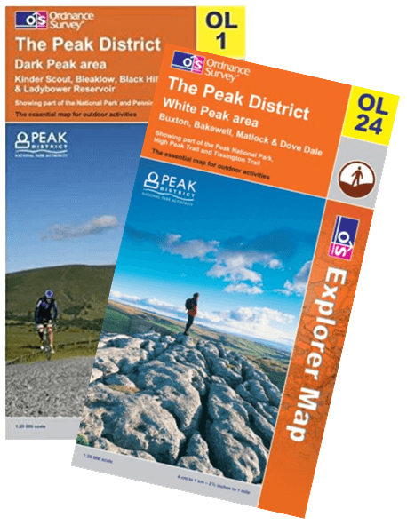
OS Explorer OL1 – Dark Peak
OS Explorer OL24 – White Peak
Guidebooks
Day Walks in the Peak District: 20 classic circular routes – Vertebrate Publishing, 2018
Day Walks in the Peak District: 20 new circular routes – Vertebrate Publishing, 2020
More Peak District Outstanding Circular Walks – OS Pathfinder Guides, 2019
Peak District Outstanding Circular Walks – OS Pathfinder Guides, 2016
Peak District Top 10 Walks – Northern Eye Books, 2018
Walking in Derbyshire – Cicerone, 2010
50 Walks in the Peak District – AA, 2002
Apps
Derbyshire & Peak District Walks (Local Walks)
Walking Guides
Come Walk With Me
Derbyshire Heritage Walks
Discover Buxton Tours – Uncover Buxton Explorer Tour – a four hour hike in the hills in and around Buxton
Lost Earth Adventures
Natural Derbyshire Tours
Peak District Guided Walks
Peak District National Park Guided Health Walks
Peak District National Park Guided Ranger Walks
Peak Walking Adventures
Tour with Carol – blue badge guide
WildWays
Will4Adventure
Walking Groups
Buxton Rambling Club

From November 2025, this website is owned and managed by Buxton Civic Association Ltd - Charity No. 258163.

Buxton Civic Association celebrates the natural and human heritage of Buxton including its outstanding buildings and wildlife. We conserve and enhance this heritage and advocate its importance in making Buxton a special place to live or to visit.